Map an data
Zip code: 2837
Settlement classification: village
County: Komárom - Esztergom County
District: Tatabánya
Area: 1 712 hectare
Number of residents: 3 286 people (2018.)
GPS coordinates: 47°37’06,6” 18°22’40,9”
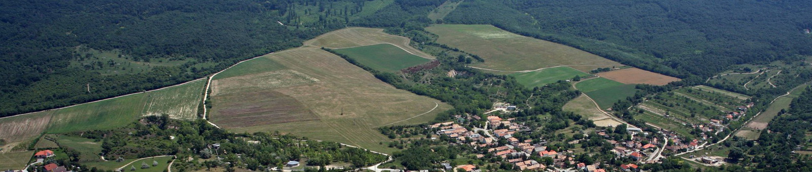
Geographical location:
Vértesszőlős is located west from Budapest, along the main road No 1, between Tata and Tatabánya at the foot of Gerecse in the Tata basin. Budapest is 56 km, Tatabánya is 2.5 km, Tata is 4.5. km, Győr is 69.5 km away. Here pass also the M1 motorway and the Vienna –Budapest railway line.
